Yellow Creek Mitigation Bank
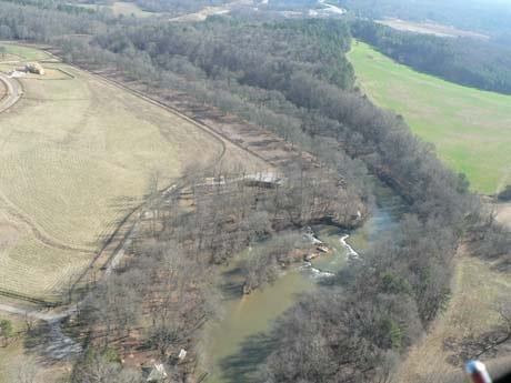
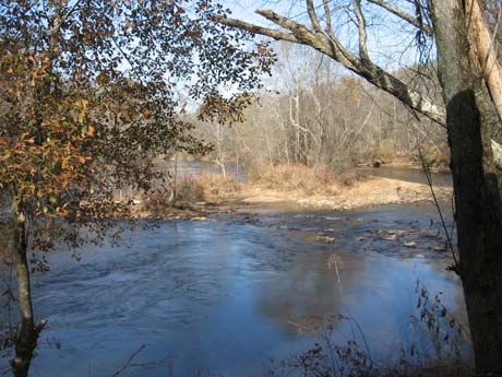
Yellow Creek Mitigation Bank is an approved U.S. Army Corps of Engineers mitigation bank providing stream mitigation credits in Etowah River Service Area. The 288-acre Bank is located along the Etowah River in Cherokee county, Georgia. The Bank was approved in 2002 and since then, all project milestones have been completed and credits have been released and transferred.
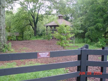
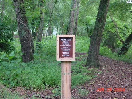
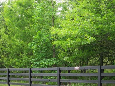
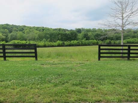
The Bank consists of over 10,000 linear feet of riparian buffer restoration, enhancement, and preservation along the Etowah River. Restoration of riparian buffers was preformed on open field pasture using planting of native trees and shrubs along the Etowah River. The riparian buffer restoration addressed water quality and aquatic habitat concerns along this priority stretch of the Etowah River.
Bank Info
| Size: | 372 +/- acres |
| Mitigation: | Stream and Riparian Buffer |
| Location: | Cherokee and Forsyth Counties, Georgia 34°17’48” N 84°15’16” W |
| Service Area: | Etowah River
Primary Secondary |

